Indigenous Land
Services
Preserving the culture and tradition of Indigenous land.
GeoVerra’s surveying, GIS, land development, environmental, and mapping professionals work with Indigenous groups to address their specific needs and expectations while also respecting local concerns and beliefs. Ultimately, our goal is to contribute to the sustainability and prosperity of the Indigenous communities we work with.

Safe and expansive imaging.
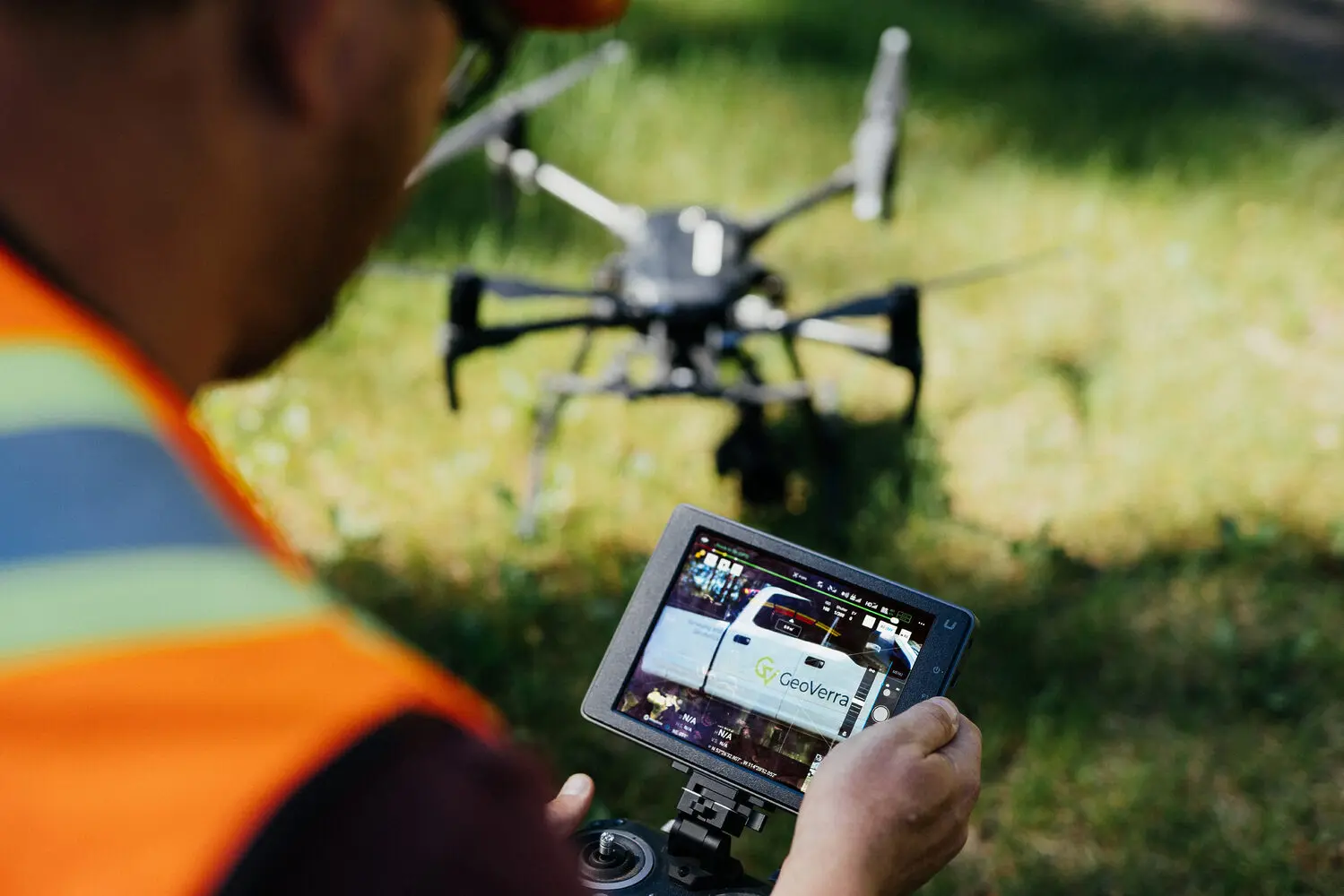
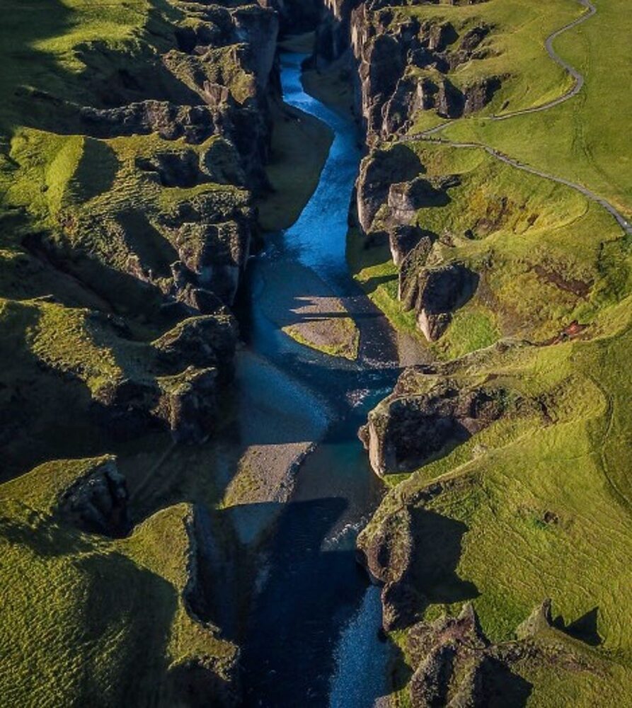
Unmanned aerial imaging is a proven and trusted technique for collecting precise geospatial data with remote (LiDAR) and photogrammetry (RGB) sensors. UAVs help us perform quick, high-definition surveys (HDS) across large, complex, and even hazardous areas while keeping everyone out of harm’s way and mitigating the impact on cultural and environmental features.


