Mapping & GIS
The industry’s best data, tailored for you.
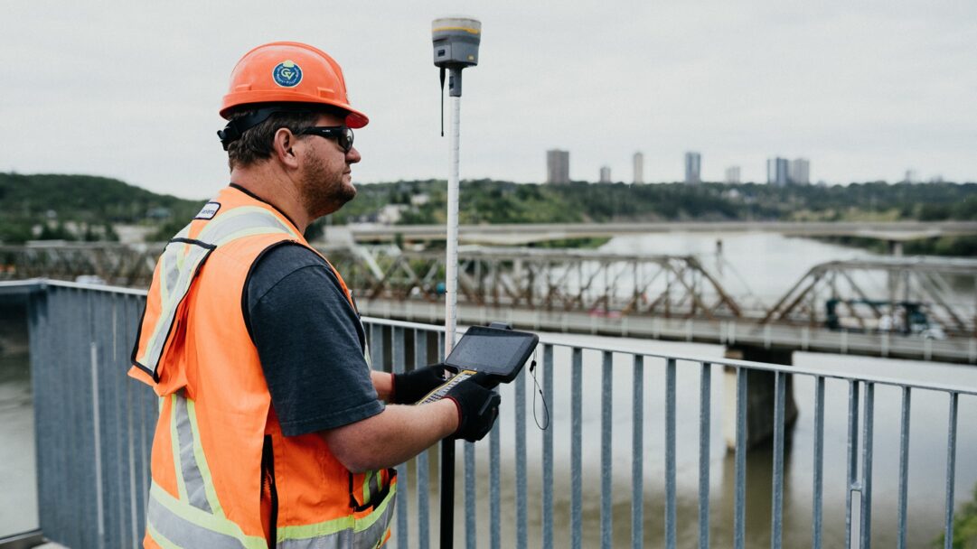
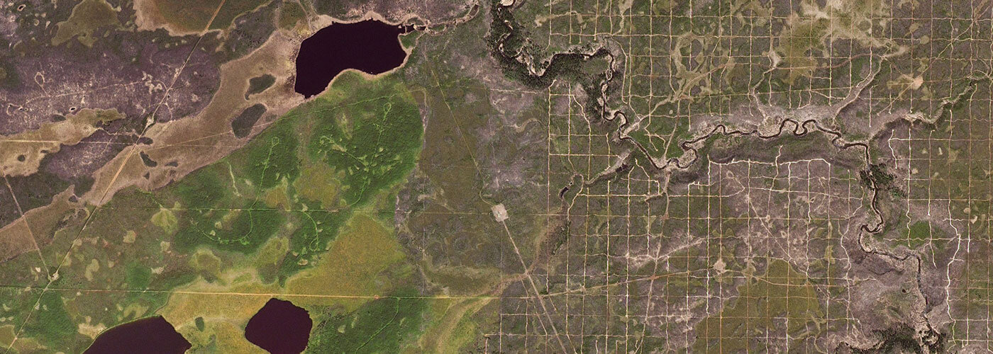
At GeoVerra, spatial data is core to what we do. Mapping and GIS technologies help us to achieve remarkable things and better understand the world around us, while also improving productivity, communication, collaboration, and safety. Our industry-leading experts present data to our clients in rich, engaging, and easy-to-understand visual formats, delivering insights that support effective decision-making and drive projects forward on time and on budget.

Visualize it.
Welcome to our world of GIS data visualization, where information is collected, combed, and displayed in one place for max collaboration and better decision-making.


